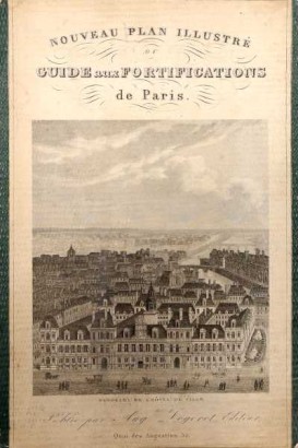

Nouveau plan illustré ou Guide aux fortifications de Paris
Features
Author: s.a.
Publisher: August Logerot
Place of printing: Paris
Year of publication: 1844
Product Condition:
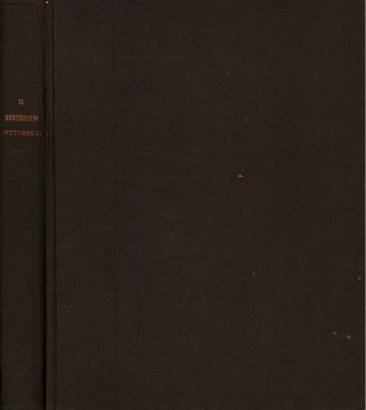
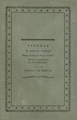
Large folded map in fair condition in hardcover binding. Front plate with applied illustration, rather dirty, completely detached; spine almost completely missing; peeling at the edges and corners; whitish spots on the posterior plate. Well preserved map, slightly burnished, with small tears in the folds that do not compromise the reading of the map. Text in French. Texte en Français.
Pages: s.n.
Format: In the eighth
Dimensions (cm):
Height: 20
Width: 13
Description
Large folded map (105 x 76.5 cm) of the city of Paris, with the perimeters of the fortifications in color.
Product availability
Immediate availability
Ready for delivery within 2 working days from ordering the product.


